
")
")
Geographic Information System
Increasing availability of information technologies is closing the gap between physical and virtual space. To bridge the narrowing gap, government agencies are hard-pressed to undertake mapping activities, to promote local services, facilitate sharing of public assets and resources, and provide prompt response during emergencies and disasters.
Using the SINAM GEOGRAPHIC INFORMATION SYSTEM (GIS), you will be able to realize maximum value from your available data. Meanwhile, the business of geolocation is in the hands of ordinary citizens, who are using gadgets like smartphones to map landmarks and places for recreation. SINAM GIS will enable an access to mobile users and allow them to participate in mapping programs.
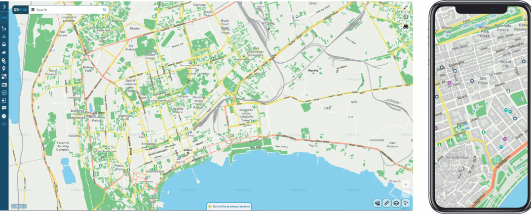
Case Study: Geographic Information System
GoMap.az & GoMap.ge

Ministry for Culture of Azerbaijan Republic (2008 - 2010)